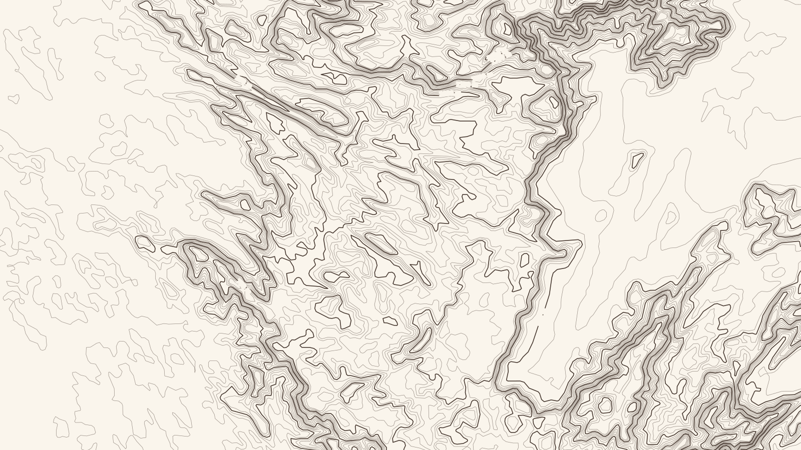
Lat 9.8396° NLon 77.0540° E
Sheet 117.4 × 66 km
Travancore.
Kerala, India
Elevation on this sheet: 2–2,537 m
01020 km
Contours 50 m · index 250 m
At a glance
Southern Kerala, mostly robusta with some arabica, on land from 400 m to 1,600 m under 2,000–4,000 mm of rain. This sheet is framed on Idukki's coffee towns, such as Kattappana. The exact districts in the Board's Travancore zone aren't confirmed here.12
How it grows
- All Indian coffee grows under shade, here under evergreen leguminous trees, in the biodiversity hotspots of the Ghats.13
- Kattappana is a centre for producing and trading coffee, cocoa and ginger.2
- Around Nedumkandam, coffee is a major crop alongside cardamom and pepper.4
Robusta varieties1
Grown alongside1
Climate and harvest
| Jan | Feb | Mar | Apr | May | Jun | Jul | Aug | Sep | Oct | Nov | Dec | |
|---|---|---|---|---|---|---|---|---|---|---|---|---|
| Robusta | harvest | blossom | blossom | – | – | – | – | – | – | – | – | harvest |
Processing
[TBC] Not yet sourced for this region.
History
[TBC] Not yet sourced for this region.
Sources
- Coffee Board of India: Coffee regions of India
- Wikipedia: Kattappana
- Coffee Board of India: Coffees of India
- Wikipedia: Nedumkandam
- StoneX: USDA attaché on India's 2023/24 coffee crop
- Copernicus DEM GLO-30 (elevation data for the map). Contains modified Copernicus Sentinel data, processed by ESA; © DLR e.V. 2010–2014 and © Airbus Defence and Space GmbH 2014–2018, provided under COPERNICUS by the European Union and ESA.
- Town positions: Kattappana, Nedumkandam, Kumily, Adimali (Wikipedia).