Lat 25.6334° NLon 94.1128° E
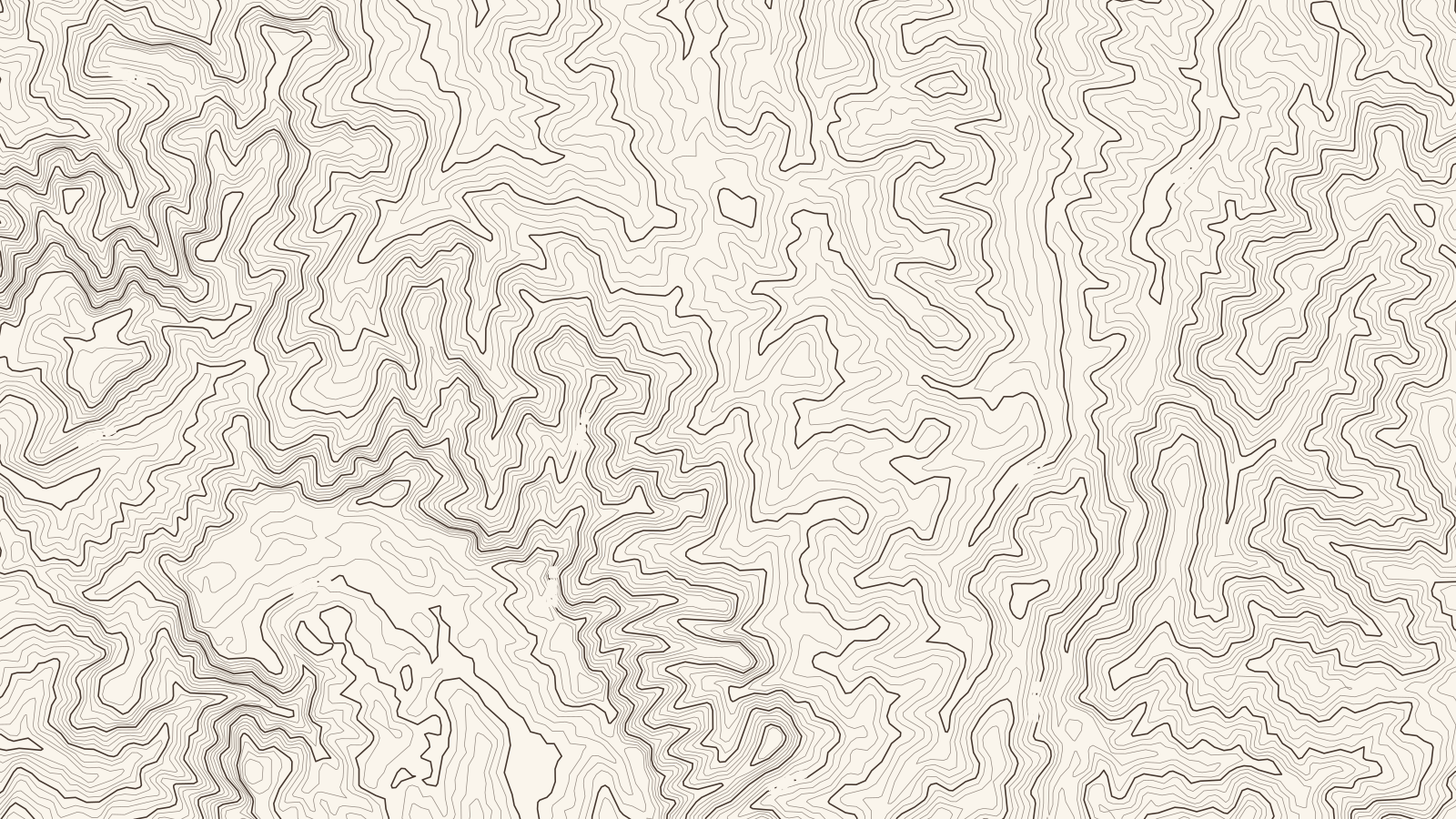
Sheet 36 × 20.3 km
Brahmaputra.
North East India, India
Elevation on this sheet: 658–2,968 m
02.55 km
Contours 50 m · index 250 m
At a glance
The Coffee Board's region for the North Eastern states, growing arabica at 800–1,200 m. This sheet shows the Kohima area of Nagaland, the district with the most coffee in that state.12
How it grows
- All Indian coffee grows under shade, here under evergreen leguminous trees, in the biodiversity hotspots of the Ghats.13
- In 2022 Kohima district had Nagaland's largest coffee area, about 2,650 ha, out of nearly 10,000 ha being planted across the state.2
Arabica varieties1
Grown alongside1
Climate and harvest
| Jan | Feb | Mar | Apr | May | Jun | Jul | Aug | Sep | Oct | Nov | Dec | |
|---|---|---|---|---|---|---|---|---|---|---|---|---|
| Arabica | harvest | – | blossom | blossom | – | – | – | – | – | – | harvest | harvest |
Processing
[TBC] Not yet sourced for this region.
History
[TBC] Not yet sourced for this region.
Sources
- Coffee Board of India: Coffee regions of India
- Udayavani (PTI): Coffee plantation on nearly 10,000 hectares of land in Nagaland (2022)
- Coffee Board of India: Coffees of India
- StoneX: USDA attaché on India's 2023/24 coffee crop
- Copernicus DEM GLO-30 (elevation data for the map). Contains modified Copernicus Sentinel data, processed by ESA; © DLR e.V. 2010–2014 and © Airbus Defence and Space GmbH 2014–2018, provided under COPERNICUS by the European Union and ESA.
- Town positions: Kohima, Jakhama (Wikipedia).