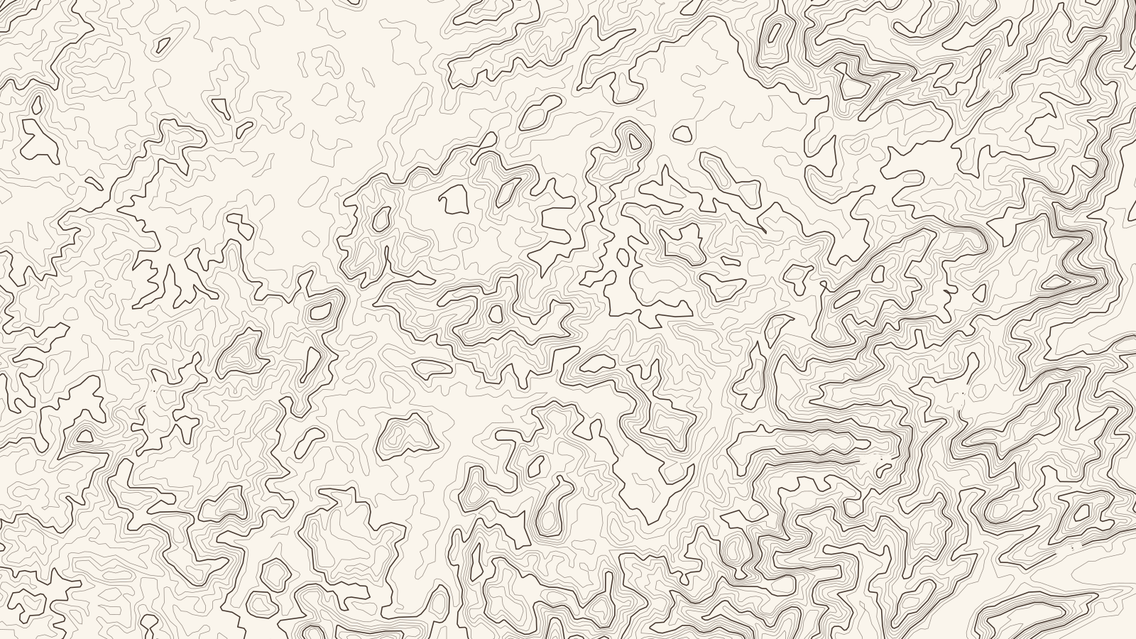
Lat 18.2233° NLon 82.7667° E
Sheet 73.7 × 41.5 km
Araku Valley.
Andhra Pradesh, India
Elevation on this sheet: 62–1,584 m
0510 km
Contours 50 m · index 250 m
At a glance
A valley in the Eastern Ghats, in the hills of the old Visakhapatnam district, running over the border into Odisha. Its arabica is grown by tribal farmers who work with organic methods, and it carries a GI tag.12
How it grows
- All Indian coffee grows under shade, here under evergreen leguminous trees, in the biodiversity hotspots of the Ghats.23
- Grown by tribal farmers with an organic approach: organic manures, green manuring and organic pest control.1
Arabica varieties2
Grown alongside2
Climate and harvest
| Jan | Feb | Mar | Apr | May | Jun | Jul | Aug | Sep | Oct | Nov | Dec | |
|---|---|---|---|---|---|---|---|---|---|---|---|---|
| Arabica | harvest | – | blossom | blossom | – | – | – | – | – | – | harvest | harvest |
Processing
[TBC] Not yet sourced for this region.
History
- Coffee was introduced to tribal communities in the valley as a development programme, on land they were given rights to use.5
Sources
- Drishti IAS: Five coffee varieties got GI tag (30 Mar 2019)
- Coffee Board of India: Coffee regions of India
- Coffee Board of India: Coffees of India
- StoneX: USDA attaché on India's 2023/24 coffee crop
- The News Minute: Araku's coffee is world-famous, but why are its farmers still struggling?
- Copernicus DEM GLO-30 (elevation data for the map). Contains modified Copernicus Sentinel data, processed by ESA; © DLR e.V. 2010–2014 and © Airbus Defence and Space GmbH 2014–2018, provided under COPERNICUS by the European Union and ESA.
- Town positions: Araku Valley, Dumbriguda, Hukumpeta, Paderu (Wikipedia).